vizent hemant created a new article
31 w

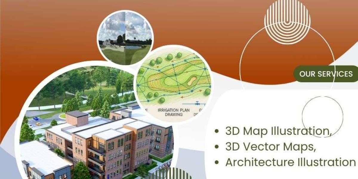
Using 3D Map Illustration in Public Infrastructure Projects | #3d Map Illustration # 3D Vector Maps # Architecture Illustration

Using 3D Map Illustration in Public Infrastructure Projects

Using 3D Map Illustration in Public Infrastructure Projects

Traditionally, communicating the scope, design, and benefits of such projects relied on technical drawings, static maps, and written reports – mediums often inaccessible or unengaging for the general public and even some non-technical decision-makers.